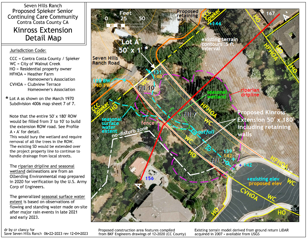
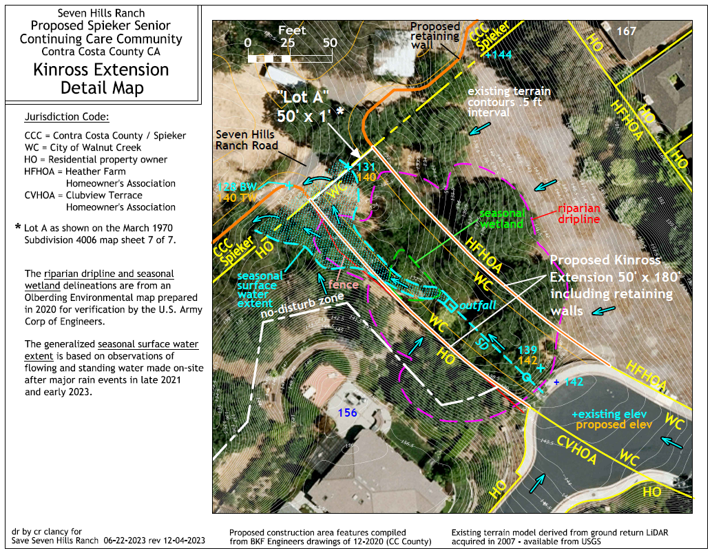
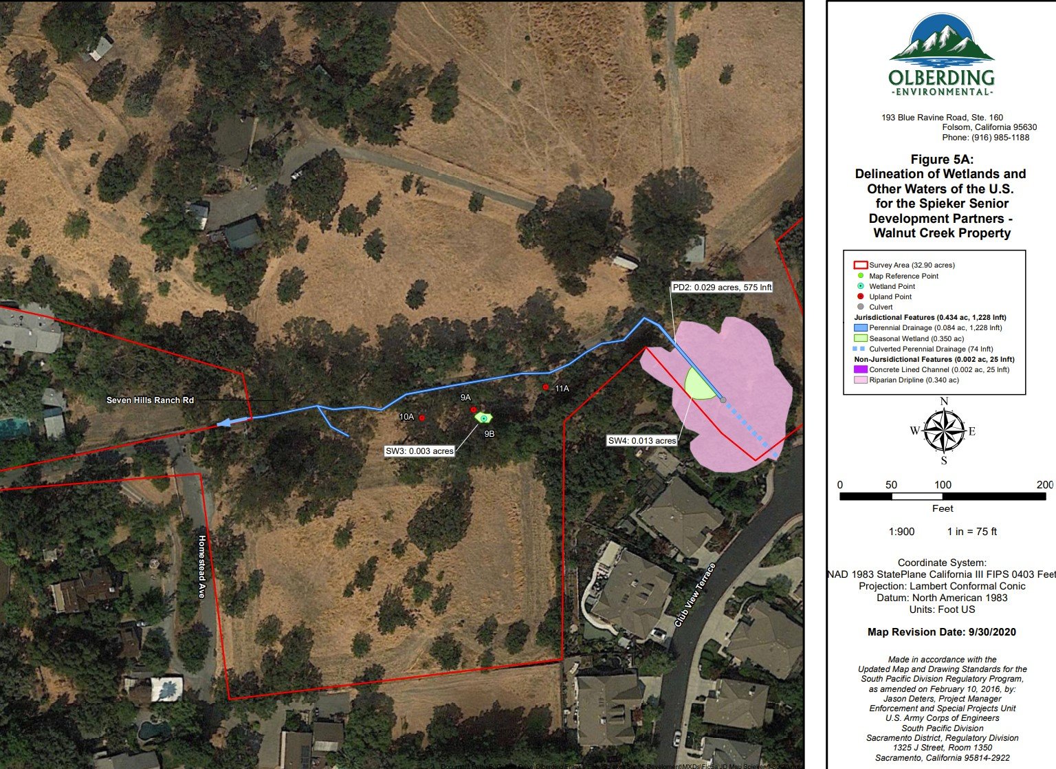
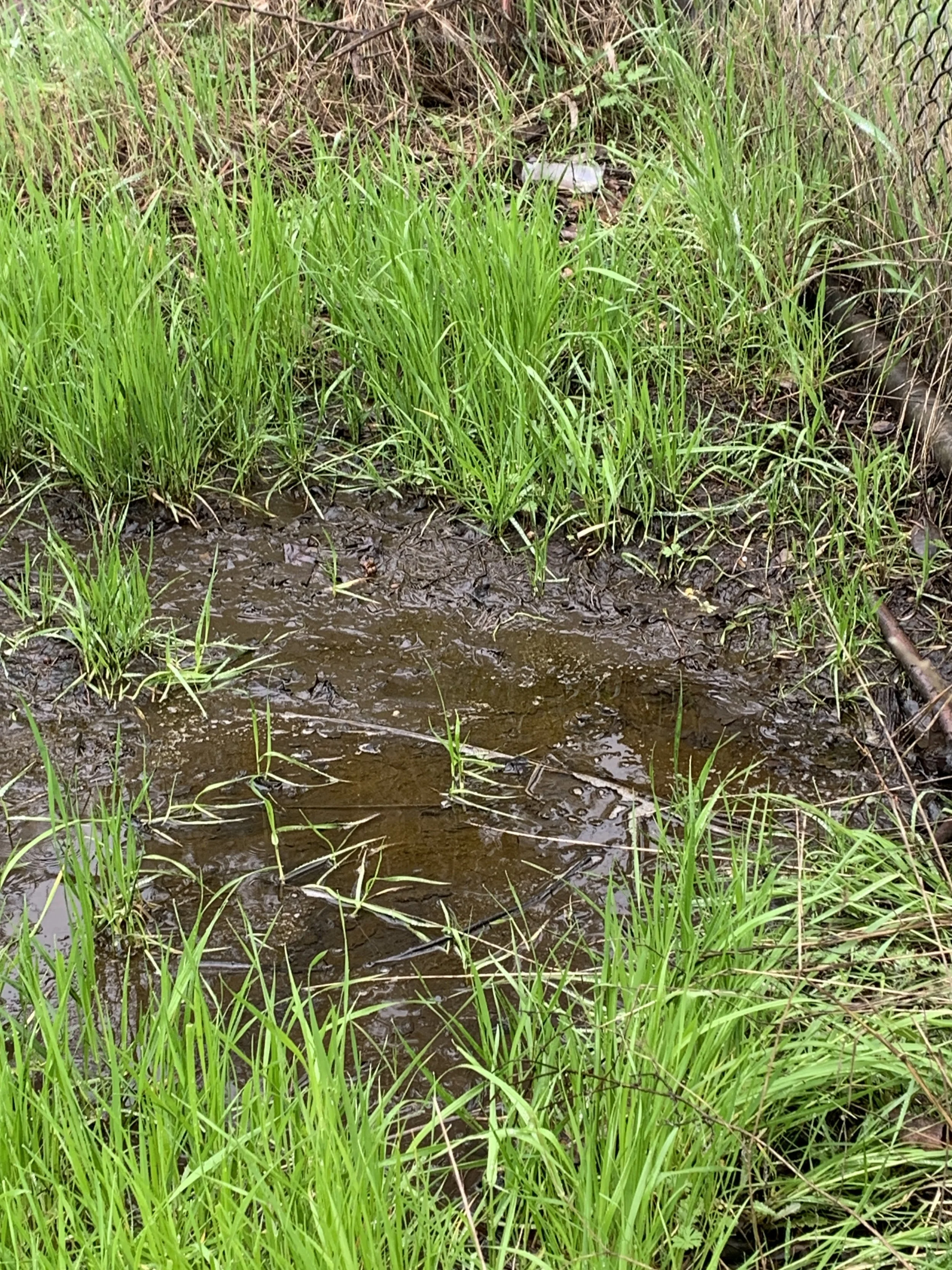
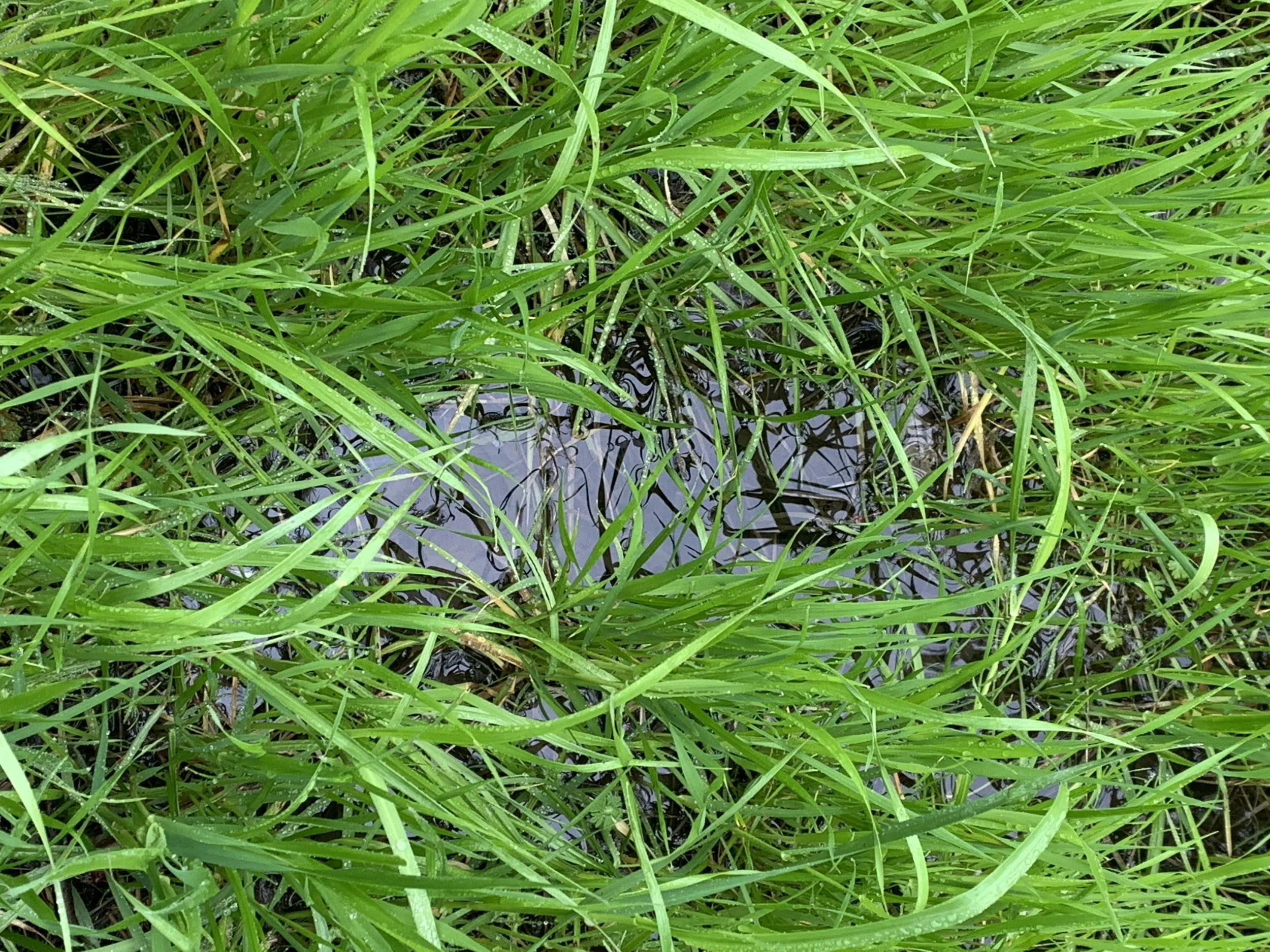
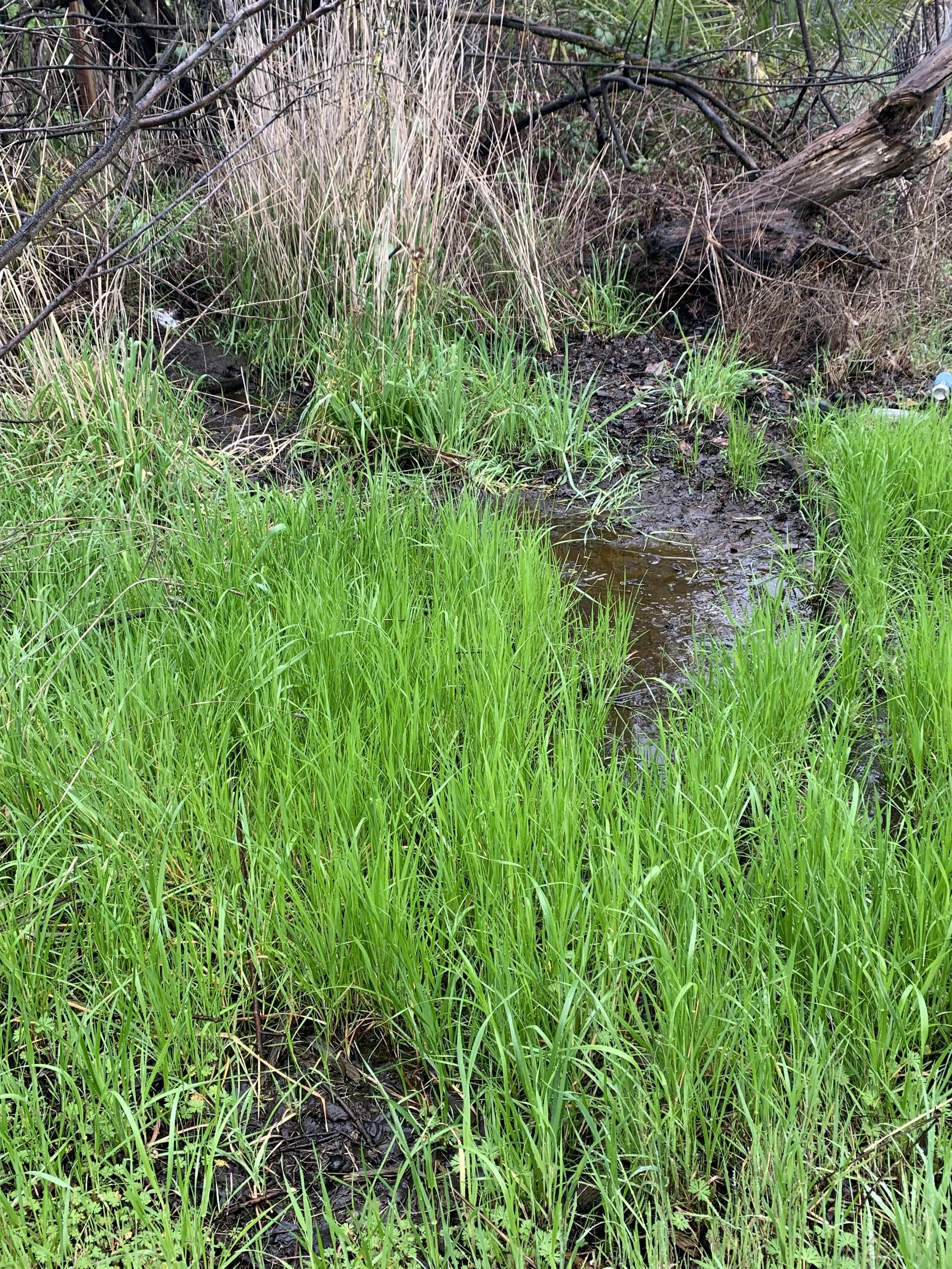
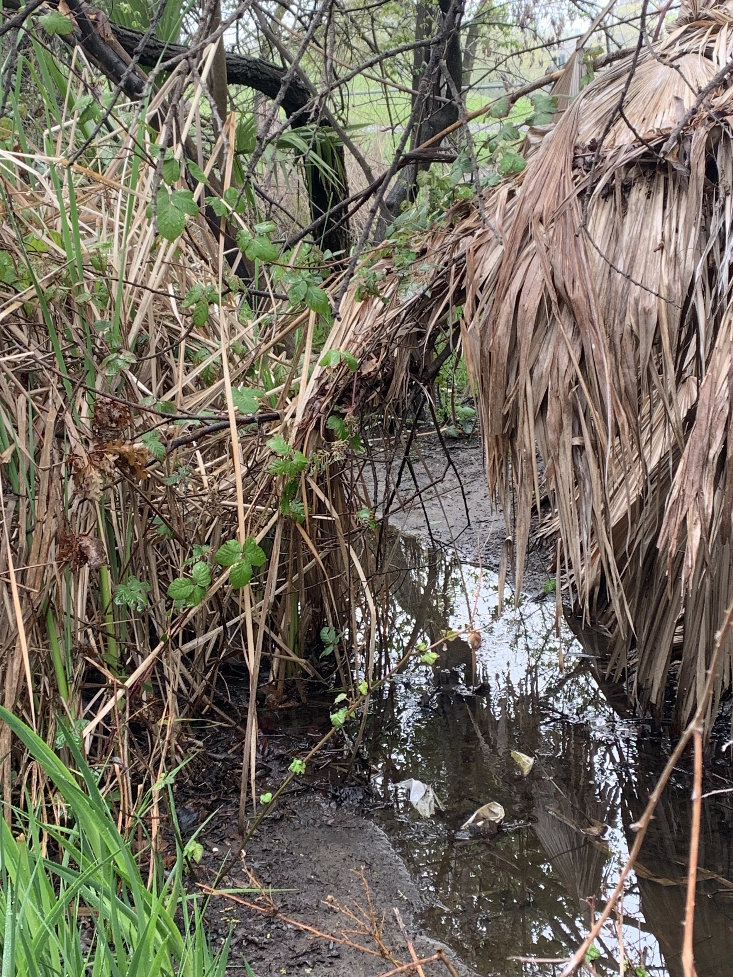
Kinross Wetlands Photos & Maps
In this section you will find:
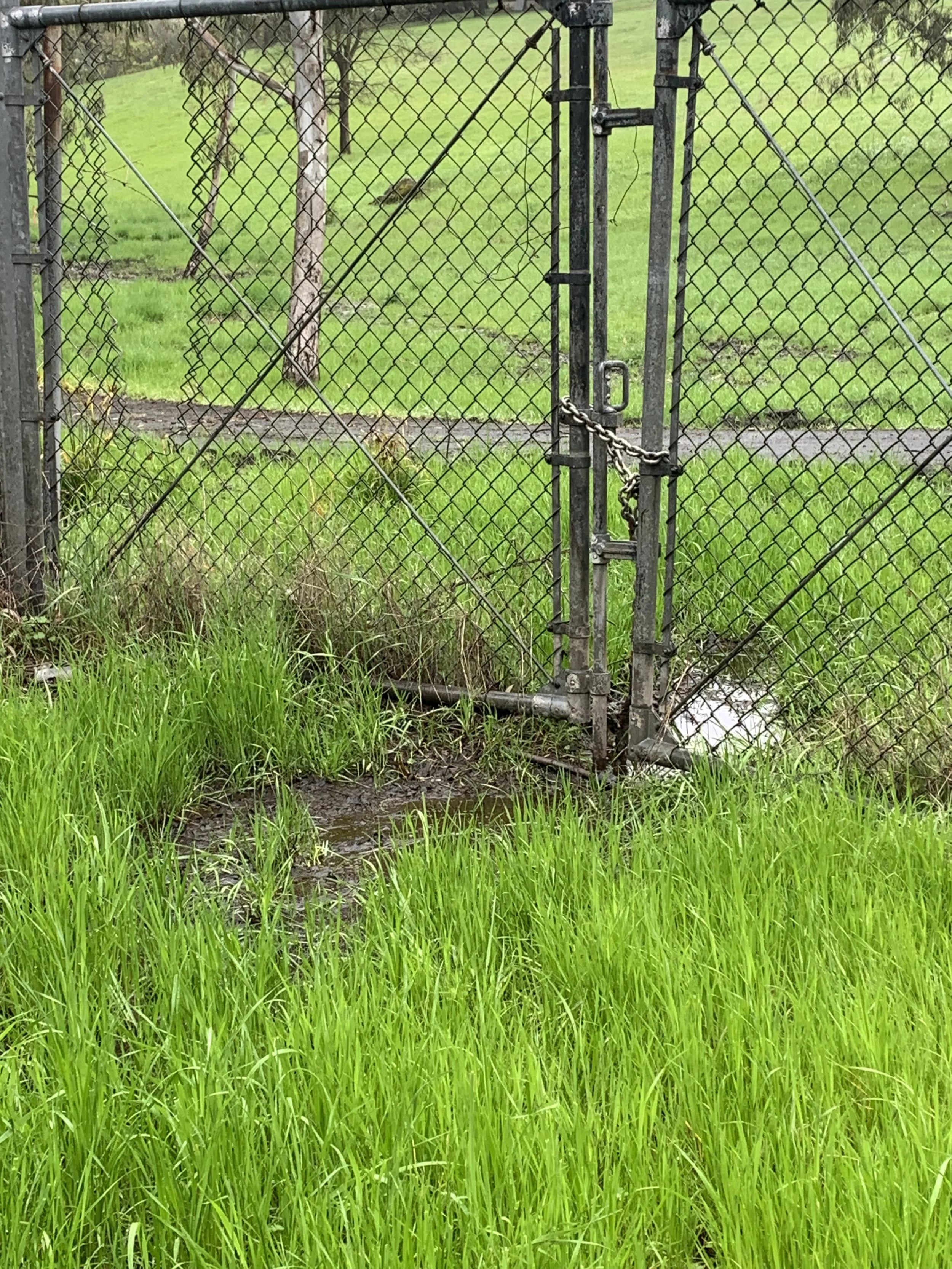
— photos taken of the Kinross extension wetlands
— a map indicating in green the location of the federally “protected” wetlands where the photos were taken.
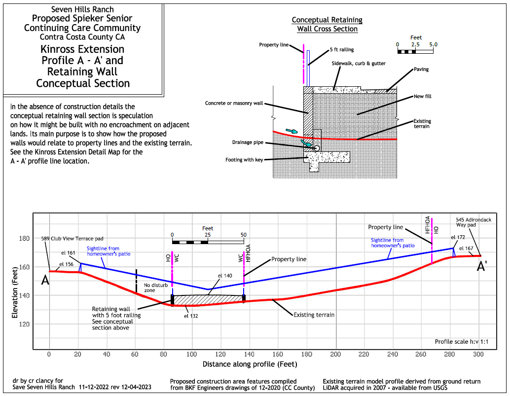
— illustrations indicating ownership delineations (CCC area is now Spieker property) and a speculated profile of the proposed extension’s approximate 10 FOOT retaining wall and drainage construction.